


Uncategorised
(eesti) Kvaliteedijuhtimissüsteemi korraline välisaudit
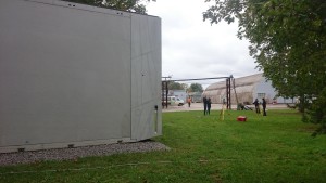
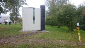
3-D scanning of a concrete composite modular house as part of the BIM cave research project at the Tallinn University of Applied Sciences
Geo S.T. OÜ made its contribution to surveys for the modular house completed as part of the BIM cave research project at the Tallinn University of Applied Sciences.
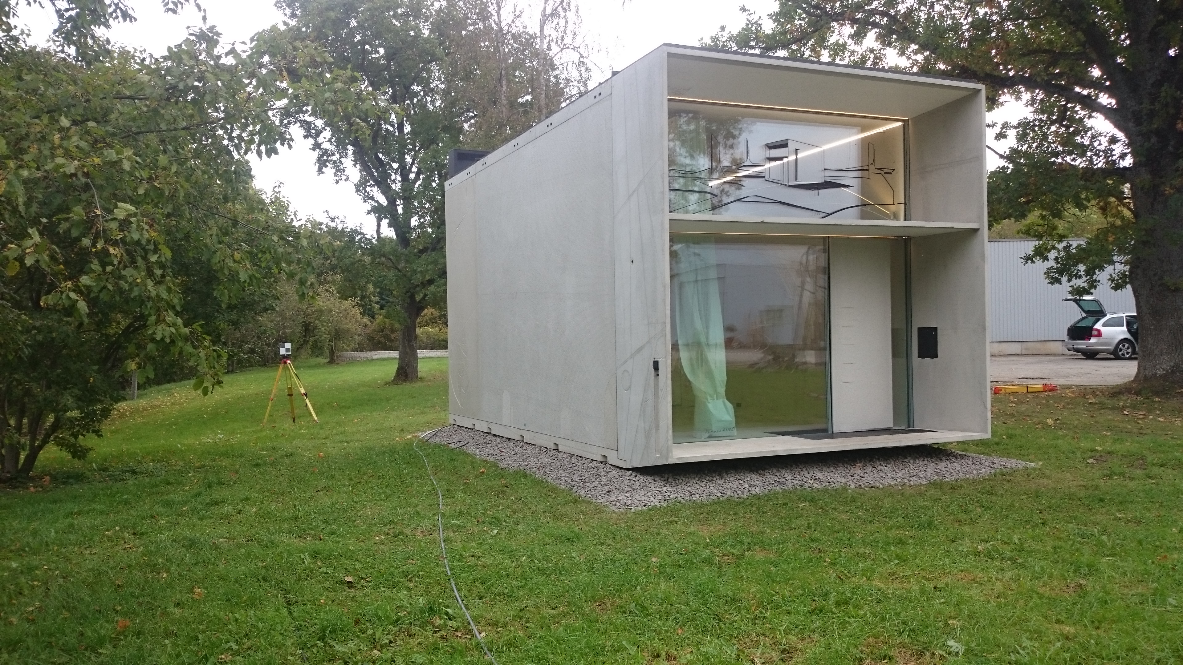
The concrete composite modular house built by Kodasema OÜ is a 2-storey residential building measuring approximately 3×7 m.
The purpose of the 3-D scanning of the modular house was:
- to create a practical model of the building by scanning it and compare this to the existing BIM design model
- to create a practical model of the building using tacheometer measurement and compare this to the practical model created based on the scan.
The results of the project will later be covered in the TTK University of Applied Sciences Construction Geodesy thesis works.
Geo S.T. OÜ’s surveyors on the international OFFSHORE project MOHO-NORD
Since May 2015, Geo S.T. OÜ has been involved in the production of oil rig components. The title of the project is MOHO-NORD and the end client for the work is the fuel producer TOTAL of France. This is Geo S.T.’s first so-called OFFSHORE project. The oil rig will be erected in the seas off the coast of the Democratic Republic of the Congo in Africa. The content of the work is 3-D control during the entire production and installation process. The works are being carried out at Mäntyluoto, Republic of Finland, in a metal element production factory belonging to Technip Finland
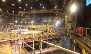
As the deadline of the project is short and the nature of the work complicated, geodesists work in two shifts.
By today already 3 Geo S.T. geodesists are involved in the project.
Of geodetic instruments, Leica Industrial series tachymeters (TDA5000, TDA5005 and TDRA 6000) and accurate industrial indication kits are being used. The software used is Leica Axys and Spatial Analyzer.
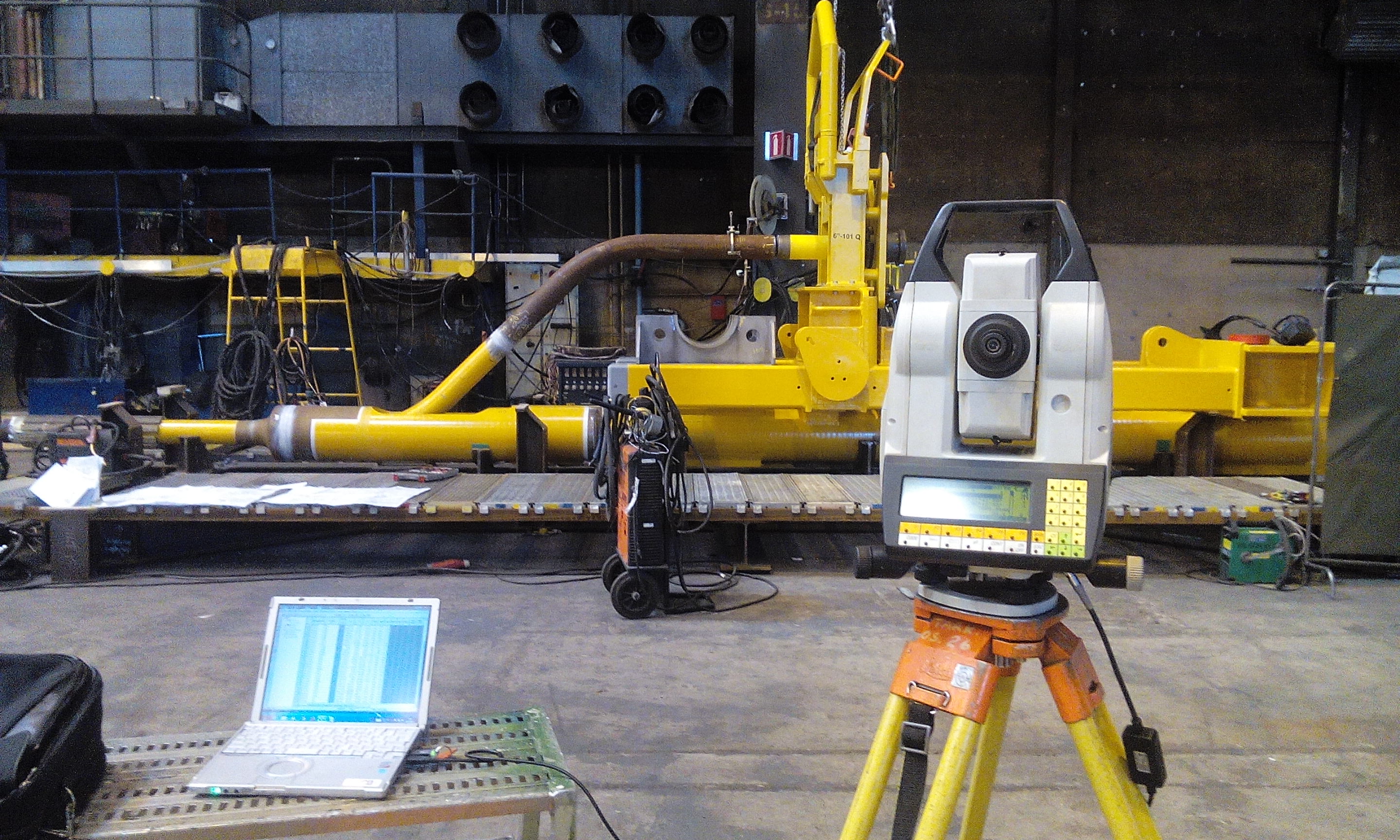
This project should be completed within this year. At the same time two new projects have started in parallel with the ongoing project and the work should also continue next year.
Summer Seminar, Association of Estonian Surveyors
The Association of Estonian Surveyors invites its members, colleagues and friends to attend the Summer Seminar of the Association of Estonian Surveyors at Barto Guest House from 4 to 5 September 2015.

For further information visit:
http://egu.ee/konverentsid/suvepaevad või https://www.facebook.com/egu.ee?fref=nf
Source: Association of Estonian Surveyors